This screen shows you all the information related to the field, you can see the legal land description, the intend crop, previous crops, variety, target yields, etc., also you can upload a field map, as an static image or it can set your location using an interactive map
Navigate to this screen
- From the top menu select Field Info
- From the dropdown menu select Field Details

- The screen displayed will be section into
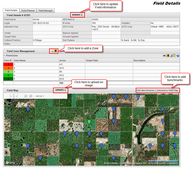
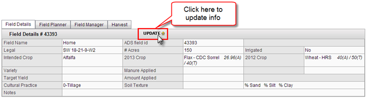
Field Details
This section will include main information about the field.
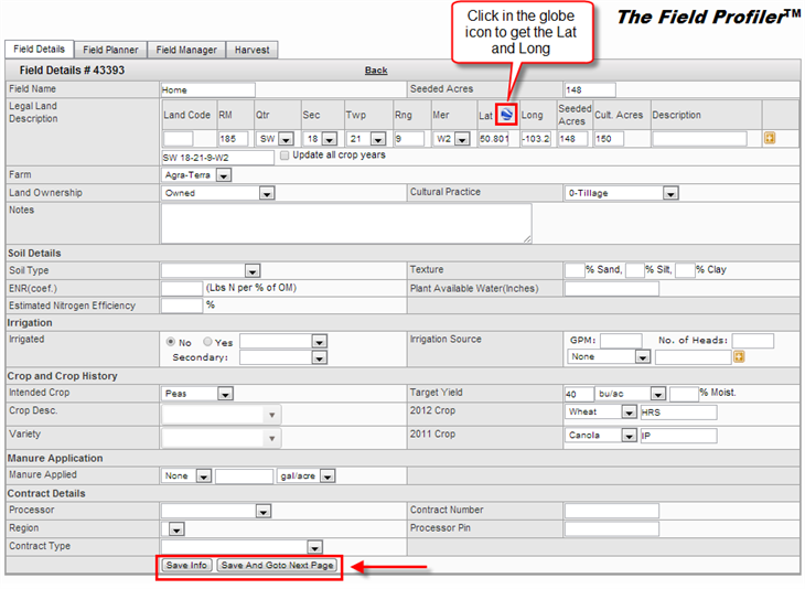
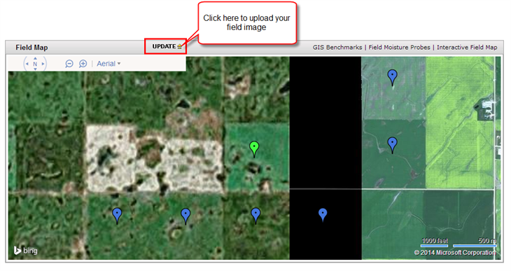
- If you wish to update the information, just click on the Update link with the yellow arrow
- Add or edit information as you wish, and click the Save Info button or the Save And Goto Next Page button
Field Zone Management
In this section you can upload a zone file, manually create one set of zones, or just import them from the previous year your field
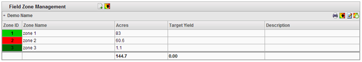
To learn more about the Field Zone Management section <Click here>
Field Map
In this section you can upload an image of the map of your field.
- A new table will be display in the map section
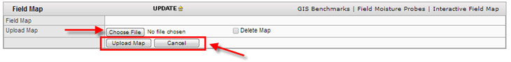
- Click on the Choose File button, locate and select the file from your computer’s files
- And click the Upload Map button to save the image of the map
- Or if you do not wish to save the image, just click the Cancel button
There are other way to set the location of the field in a more interactive way using the GIS Benchmarks, to learn more about this feature <Click here>